India’s southwest monsoon has begun withdrawing from the northwest of the country, but nearly 43% of India’s geographical area remains rain-deficient after an unusually weak and uneven season.
The India Meteorological Department said the monsoon withdrew from parts of western Rajasthan on September 19, with the withdrawal line passing through Ramgarh, Mohangarh, Phalodi and Khajuwala. The retreat has begun only slightly later than the climatological normal date of September 17, and conditions are favourable for it to advance into more parts of Rajasthan, Punjab, Saurashtra and Kutch over the next few days.
The bigger concern is what the monsoon is leaving behind. Between June 1 and September 19, India received 695.6 mm of rainfall, roughly 15% below normal. Around 43% of the country’s land area remains rainfall deficient, with some of the sharpest shortfalls in Meghalaya, Andhra Pradesh, Arunachal Pradesh, Bihar and several parts of northwest and peninsular India.
The seasonal pattern has also been unusually erratic. June was sharply deficient, July briefly recovered to around normal levels, but August and September again fell below average. Punjab has recorded a rainfall deficit of about 39% so far this season, Haryana around 22%, while several eastern and northeastern states have also experienced large shortfalls.
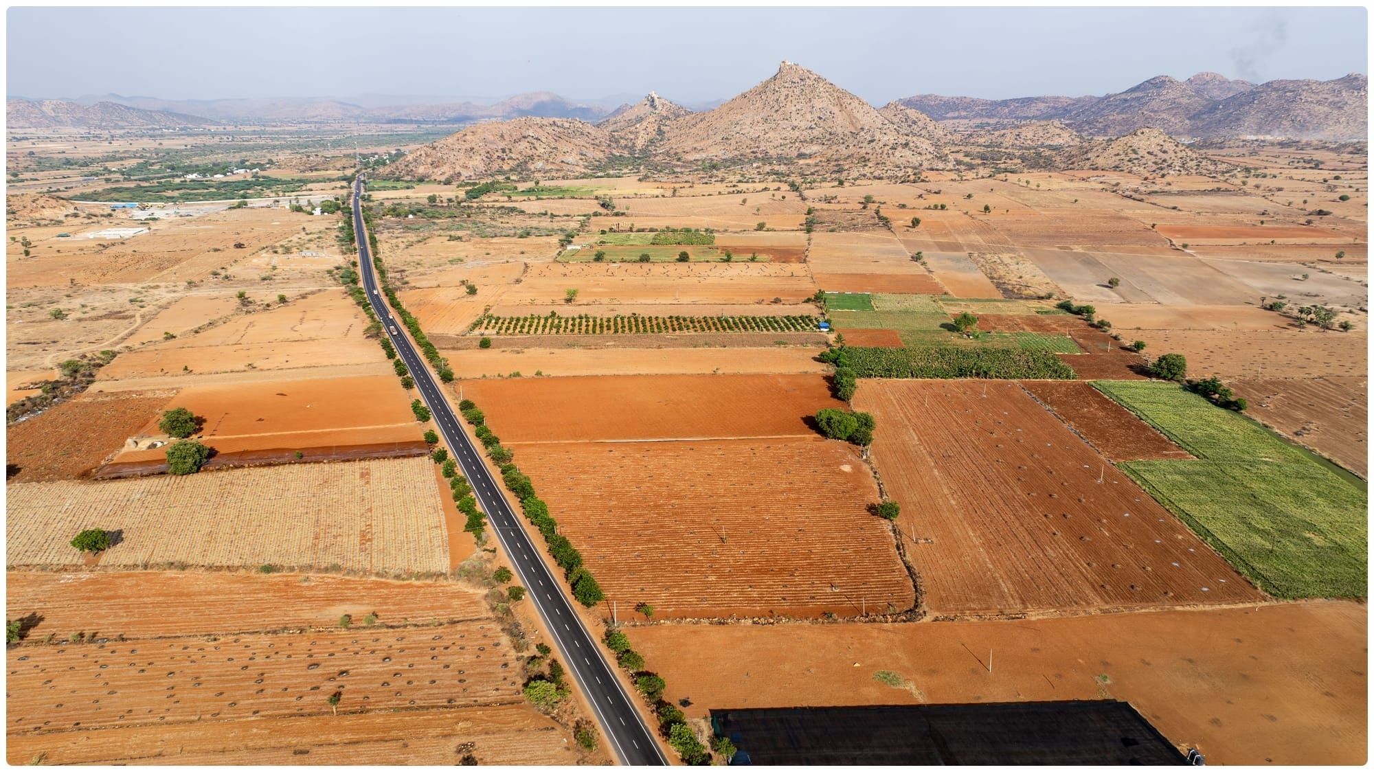
The weak rains are already feeding into concerns over agriculture. India’s rice output is expected to fall by around 10 million tonnes in 2026, according to industry estimates, potentially the biggest decline in nearly two decades. Lower rainfall during key crop stages and reduced acreage have hurt yield expectations, particularly in major rice-producing states.
The impact could extend into the winter cropping season as well. Agriculture officials are preparing for the rabi season with concerns over soil moisture and reservoir levels, particularly in areas where the monsoon failed to replenish water supplies adequately. Winter crops such as wheat, mustard and pulses depend heavily on stored water and residual soil moisture after the monsoon ends.
Strengthening El Niño conditions have been a major factor behind this year’s rainfall pattern. IMD has said El Niño is expected to persist, increasing the risk of continued heat and dry conditions after the monsoon. The weather department has already revised its seasonal outlook lower, with the year now expected to finish significantly below the long-period rainfall average.
The withdrawal does not mean rain will immediately stop across India. A low-pressure system developing over the North Andaman Sea is expected to intensify and could bring heavy rainfall to parts of Odisha, West Bengal, Jharkhand, Chhattisgarh and coastal Andhra Pradesh in the coming days.
The final hope for the monsoon! A low-pressure system has developed over the Bay of Bengal. It is likely to track towards Odisha and then recurve towards UP, Bihar or northeast India. On its way, it will dump a lot of monsoon rainfall. After this system, rapid monsoon withdrawal… pic.twitter.com/TuVA68mQCo
— 🔴All India Weather (@allindiaweather) September 19, 2026
But late-season rain may not be enough to erase deficits built up over four months.
As the monsoon begins its retreat, the focus is shifting from how much rain may still fall to what the shortfall will mean for crop yields, reservoirs, food prices and water availability in the months ahead.